|
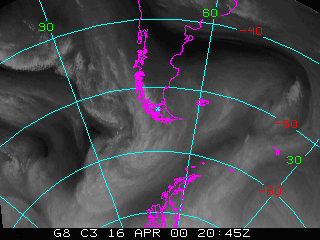
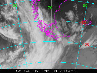
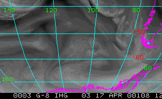
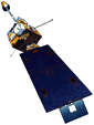
The NOAA Geostationary Operational Environmental Satellites (GOES) is an operational weather satellite used for monitoring weather in the western hemisphere. GOES is in a geosynchronous orbit and is about 35,800 km above the Earth. GOES-8 (EAST) is positioned at 75 W, while GOES-10 (West) is positioned at 135 W. The GOES (-8, -10) Imager is five channel radiometer (1 visible, & 4 infrared) with wavelengths centered at 0.65um to 12.0um. The routine GOES-8 Imager Schedule (from NOAA OSO) scans the CONUS every 15 minutes. The full disk (FD) sector scans every 3 hours starting at 2:45 UTC. It takes approximately 26 minutes to complete.
|
|
|